


Descripción
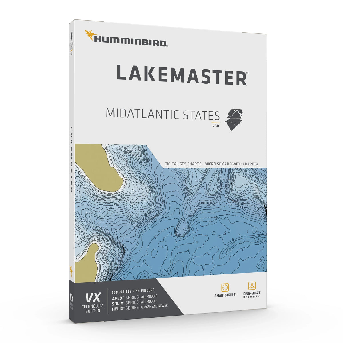
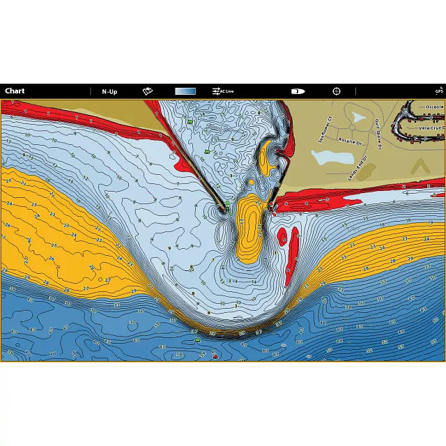
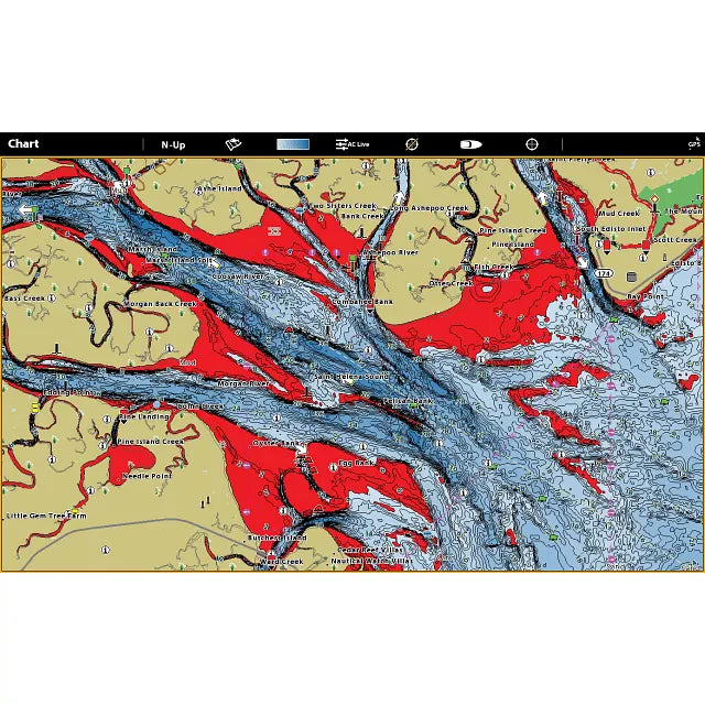
Navigate regional lake detail with chart presets and depth tools when targeting Mid-Atlantic freshwater structure. LakeMaster Mid-Atlantic V1 by Humminbird (601004-1) supplies a dedicated regional SD map card with depth-contour and fishing features. It is intended for supported Mid-Atlantic lakes; verify the exact body of water on the current Mid-Atlantic regional lake list instead of assuming complete regional coverage.
Regional coverage: The Mid-Atlantic V1 region is defined by Delaware, Maryland, North Carolina, South Carolina, Virginia and West Virginia. Confirm your fishing lake on the specific chart list rather than relying only on a state name.
Tools for finding and reading structure
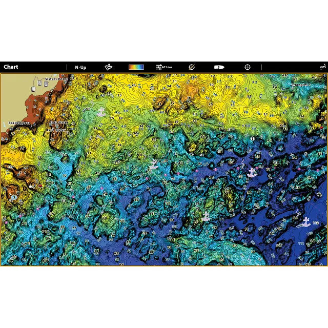
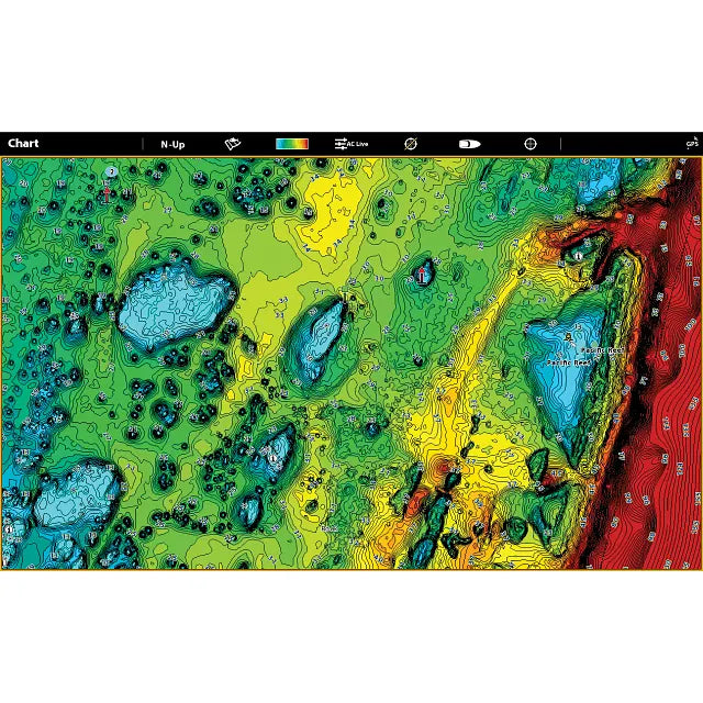
- VX technology: fast cartography, several selectable palettes and three chart presets for different fishing conditions
- Four depth bands: colour-mark chosen contour ranges to isolate promising depths
- Shallow-water alert: adjustable red shading across an optional 0–60-foot threshold
- Water-level adjustment: bring displayed lake contours and shorelines into line with actual water level
- SmartStrike: suggested fishing locations on supported HD lakes, not all mapped lakes
- Motor integration: follow chart contours through One-Boat Network on a compatible Minn Kota trolling motor and Humminbird setup
Confirm this card before ordering
- Exact manufacturer part: 601004-1; UPC: 0082324056611
- Edition: standard LakeMaster VX Mid-Atlantic V1; regional freshwater charts on physical SD media
- Supported devices: chart-card-capable HELIX G3/G3N or newer, SOLIX, APEX and XPLORE
- Software check: Basemap v2.010 on HELIX 5/7/8 or v1.031 on supported HELIX 9–15 G3N+ and SOLIX
- Manufacturer cover: one-year limited cartography warranty (opened packages are not eligible for return under manufacturer terms)
Standard versus Premium
The standard Mid-Atlantic V1 chart focuses on VX depth mapping, SmartStrike and display controls. It does not include the Premium edition's separate shaded-relief and aerial imagery layers. The card is not a GPS receiver, fish-finder display or universal chart for other electronics brands; check model support and regional lake coverage before purchase.
Gastos estimados de envío
También te puede interesar
Visto recientemente
Inventario de piezas para vehículos recreativos nuevo y actualizado: consulte con frecuencia
Siempre estamos agregando piezas de RV nuevas y usadas a nuestro inventario, así que asegúrese de volver a consultarlo periódicamente.
Si no ve la pieza que necesita hoy, es posible que aún la tengamos en stock: nuestra base de datos interna incluye miles de piezas de vehículos recreativos nuevas que aún no están publicadas en línea.
Envíenos un mensaje de texto o correo electrónico con el número de producto o modelo y verificaremos la disponibilidad de inmediato.
Nuestras colecciones