


Description
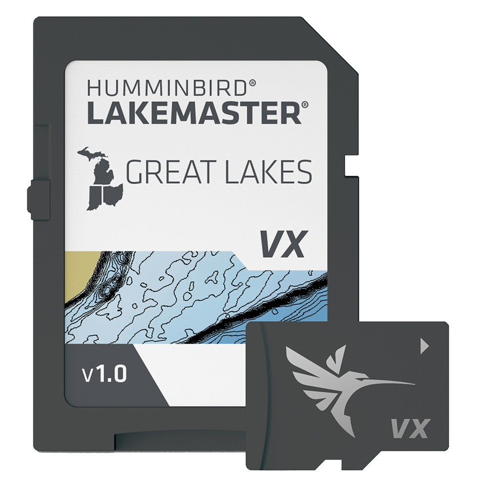
Compare lakebed contours around the Great Lakes region on a compatible Humminbird screen before you pick a fishing spot. LakeMaster Great Lakes V1 by Humminbird (601002-1) supplies a dedicated regional SD map card with depth-contour and fishing features. It is intended for marked freshwater lakes in the Great Lakes region; verify the exact body of water on the manufacturer's Great Lakes regional chart list instead of assuming complete regional coverage.
Regional coverage: The manufacturer's Great Lakes region groups Michigan, Indiana, Ohio, Kentucky and Tennessee. Only lakes on the corresponding chart list are included; do not assume complete U.S. or Canadian Great Lakes coverage.
Tools for finding and reading structure
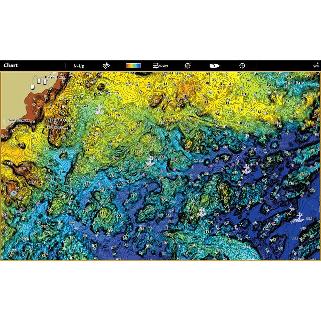
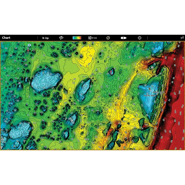
- VX technology: fast cartography, several selectable palettes and three chart presets for different fishing conditions
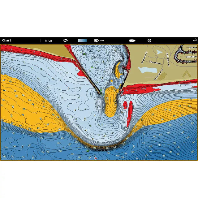
- Four depth bands: colour-mark chosen contour ranges to isolate promising depths
- Shallow-water alert: adjustable red shading across an optional 0–60-foot threshold
- Water-level adjustment: bring displayed lake contours and shorelines into line with actual water level
- SmartStrike: suggested fishing locations on supported HD lakes, not all mapped lakes
- Motor integration: follow chart contours through One-Boat Network on a compatible Minn Kota trolling motor and Humminbird setup
Confirm this card before ordering
- Exact manufacturer part: 601002-1; UPC: 0082324056598
- Edition: standard LakeMaster VX Great Lakes V1; regional freshwater charts on physical SD media
- Supported devices: chart-card-capable HELIX G3/G3N or newer, SOLIX, APEX and XPLORE
- Software check: Basemap v2.010 on HELIX 5/7/8 or v1.031 on supported HELIX 9–15 G3N+ and SOLIX
- Manufacturer cover: one-year limited cartography warranty (opened packages are not eligible for return under manufacturer terms)
Standard versus Premium
The standard Great Lakes V1 chart focuses on VX depth mapping, SmartStrike and display controls. It does not include the Premium edition's separate shaded-relief and aerial imagery layers. The card is not a GPS receiver, fish-finder display or universal chart for other electronics brands; check model support and regional lake coverage before purchase.
Estimer la livraison
Vous aimerez peut-être aussi
Récemment consulté
Inventaire de pièces détachées pour VR, nouveau et mis à jour – Consultez-le régulièrement
Nous ajoutons constamment des pièces neuves et d'occasion pour véhicules récréatifs à notre inventaire, alors assurez-vous de consulter régulièrement notre site.
Si vous ne trouvez pas la pièce dont vous avez besoin aujourd'hui, nous l'avons peut-être encore en stock : notre base de données interne comprend des milliers de pièces neuves pour véhicules de loisirs qui ne sont pas encore répertoriées en ligne.
Envoyez-nous un SMS ou un e-mail avec le numéro de produit ou le modèle , et nous vérifierons immédiatement sa disponibilité pour vous.
Nos collections